Boucle de Bruzac
Place de la mairie
Place de la mairie
24800 SAINT-PIERRE-DE-COLE
Télécharger la trace GPX
Latitude : 45.3703654 - Longitude : 0.79235125
height difference170m
Distance9.4km
Average duration3h
Type of route : Loop
Difficulty : Average
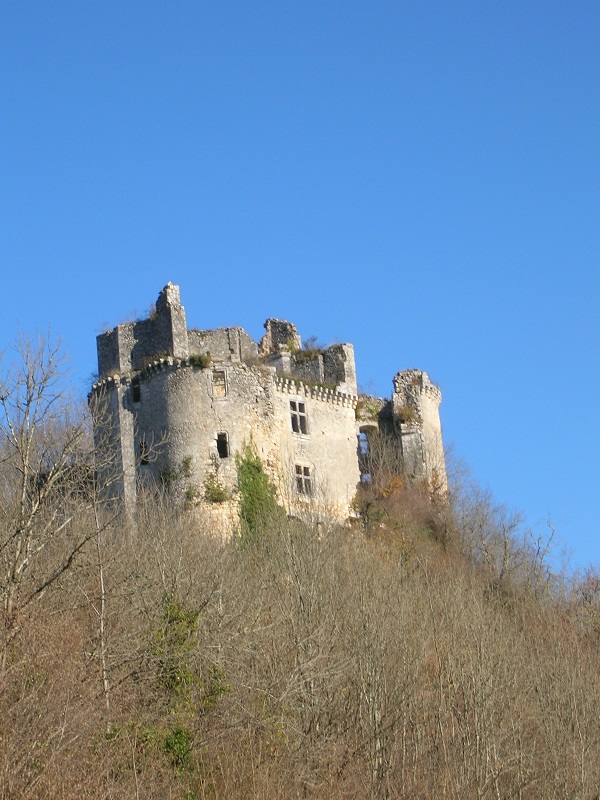
Starting from the town hall square, a 9.4 km hike, along the Côle river, where you will admire a beautiful needle arch with a resurgence of the river. You will then pass under the ruins of the castle of Bruzac, before going up in the forest. On the way back, you will pass near the castle (private property but can be visited by appointment: 06 11 40 55 37).

Itinerary approved by the French Hiking Federation