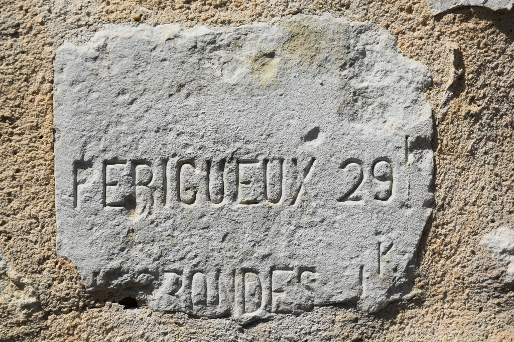
Visitor Information in Thiviers
8 Place Foch – 24800 Thiviers
05 53 55 12 50
bit.thiviers@perigord-limousin.fr
July and august
Monday to Friday : 9.30am-1 pm / 2pm-6pm
Saturday : 9.30am-12.30pm / 2pm-6pm
Sunday and bank holidays : 9.30am-12.30pm
April to June and in September and October
Monday to friday : 9.30am-12.30pm / 2pm-5.30pm
Saturday : 9.30am-12.30pm
November to March
Tuesday to Friday : 9.30am-12.30pm / 2pm-5.30pm
Monday and Saturday : 9.30am-12.30pm
January : Closed (except on Saturday in the morning)
Visitor Information in Jumilhac le Grand
Place du Château – 24630 Jumilhac le Grand
05 53 52 55 43
bit.jumilhac@perigord-limousin.fr
July and august
Monday to Friday : 9.30am-1 pm / 2pm-6pm
Sunday : 9.30am-1 pm
April to June and in September and October
Monday to Friday : 9.30am-12.30pm / 2pm-5.30pm
November to March
closed
Visitor Information in Saint Jean de Côle
Rue du Château – 24800 Saint Jean de Côle
05 53 62 14 15
bit.stjean@perigord-limousin.fr
1srt of July to the 17th of September
Every day : 10am-1pmh / 2pm-6.30pm
1srt of April to the 30th of June and 18th September to the 4th of November
Tuesday to Friday : 9.30am-12.30pm / 2pm-5.30pm
Monday and Saturday : 2pm-5.30pm
November to March
closed